Far North Region
A major population, farming and trading basin on the doorstep of Chad and Nigeria.
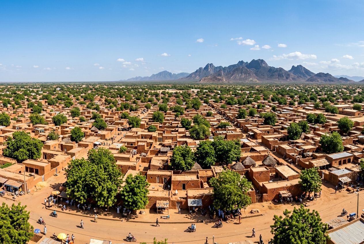
Created by the decree of 22 August 1983, the Far North Region covers 34,262 km², about 7.2% of the national territory, around Maroua, its capital. It is one of Cameroon’s most densely populated regions, with high concentrations in the Mandara mountains and the Diamaré plain. Bordered by Chad and Nigeria, it lives on farming, livestock and active cross-border trade.
- 34,262 km²
- Area
- 115+
- Inhabitants per km²
- 134,000 t
- Of seed cotton in 2017/2018
- 100,000 t
- Of paddy rice a year
- 25%
- Of the national cattle herd
- 5.8 kWh
- Of irradiation per m² per day
6 divisions, 47 subdivisions
One of the most densely populated regions
Supported by SODECOTON
A threshold regularly exceeded on SEMRY schemes
1.8 to 2.1 million head
The country’s highest sunshine
The region’s strengths
- One of Cameroon’s most densely populated regions: over 115 inhabitants per km²
- Over 40% of northern Cameroon’s cross-border trade passes through its border markets
- The country’s highest sunshine: irradiation above 5.8 kWh/m²/day
- University of Maroua: over 30,000 students, plus agricultural research stations
Major projects
- Maroua solar PV plant (30 MW)
- Bridge over the Logone between Yagoua and Bongor (Chad)
- Rehabilitation of national road 1: Mora – Dabanga – Kousséri
- Dry ports and logistics platforms in Kousséri and Mora
Geography and administration
A dense population basin next to Chad and Nigeria
With an average of over 115 inhabitants per km², the Far North is one of Cameroon’s most densely populated regions.
Six divisions and 47 subdivisions make up the region. The Regional Council, operating since December 2020, has 90 councillors; the region has one city council, Maroua, and 47 councils.
With 29 members of parliament, the Far North holds more seats in the National Assembly than any other region of Cameroon.
Diamaré
Capital Maroua, 9 subdivisions. Administrative, university and commercial centre.
Logone-et-Chari
Capital Kousséri, 10 subdivisions. The largest, strategic for trade with Chad and Nigeria.
Mayo-Danay
Capital Yagoua, 11 subdivisions. A major rice-growing and inland-fishing area (Lake Maga).
Mayo-Kani
Capital Kaélé, 7 subdivisions. A major cotton and cereal basin.
Mayo-Sava
Capital Mora, 3 subdivisions. A farming and livestock area and the gateway to Waza National Park.
Mayo-Tsanaga
Capital Mokolo, 7 subdivisions. The Mandara mountains, very densely populated.
Food and cash crops
Cotton, rice and cereals
In 2017/2018 the region produced about 134,000 tonnes of seed cotton; rice grown on irrigation schemes regularly exceeds 100,000 tonnes of paddy a year.
Two companies support the sectors: SODECOTON for cotton and SEMRY, the Yagoua rice expansion and modernisation company, for rice.
Groundnuts and pulses cover over 35% of cultivated land in Mayo-Danay, Mayo-Kani and Diamaré. Yields are exposed to erratic rainfall and soil degradation: water control and land restoration are priorities.
Cotton
Ginning and cottonseed-oil plants in Maroua, Kaélé and Yagoua.
Rice
SEMRY irrigated schemes; the Maga reservoir dam for irrigation and regulation of the Logone.
Groundnuts and pulses
Over 35% of cultivated land in three divisions.
Livestock and local processing
Nearly a quarter of the national cattle herd
The region has 1.8 to 2.1 million cattle, over 3.2 million small ruminants and over 7 million poultry.
It records 150,000 to 200,000 controlled cattle slaughters a year, supplying the national market and exports to Chad and Nigeria.
Abattoirs
Construction and modernisation of regional abattoirs, including the modern Maroua abattoir.
Dairy
Modernisation of the dairy value chain, with new collection centres.
Poultry
Family and semi-modern production.
Energy and natural resources
Cameroon’s highest sunshine
Only 22 to 28% of the population uses electricity as its main source of lighting, with wide gaps between town and country.
Irradiation exceeds 5.8 kWh/m² a day. The region also has potential in biomass, from crop residues, and in biogas.
Solar
Maroua PV plant (30 MW) and decentralised mini-plants for rural electrification.
Hydropower
Development projects on rivers of the Logone and Chari basin.
Energy access
Extension of low- and medium-voltage grids and off-grid solutions.
Cross-border trade and infrastructure
A trading gateway to Chad and Nigeria
Over 40% of northern Cameroon’s cross-border trade passes through the border markets of Kousséri, Banki and Amchidé.
Trade follows the Maroua – Kousséri – N’Djamena corridor and the routes to Nigeria: Mora – Banki and Mokolo – Maiduguri.
The road network is close to 4,800 km, of which only 10 to 12% is paved. Over 70% of subdivision capitals are covered by at least one 3G or 4G mobile network.
National road 1
Rehabilitation of the Mora – Dabanga – Kousséri section.
Bridge over the Logone
A construction project between Yagoua (Cameroon) and Bongor (Chad).
Dry ports
Projects in Kousséri for freight bound for Chad and the Lake Chad basin; logistics platforms in Kousséri and Mora.
Fibre optics
Cross-border interconnection projects.
Tourism and culture
Waza, the Mandara mountains and the Musgum shell houses
Waza National Park covers 170,000 hectares and is home to giraffes, lions, elephants and hippos.
The Lake Chad and Logone wetland, a Ramsar site, hosts over 350 bird species. The region has over 120 hotels, or about 1,800 to 2,200 rooms, concentrated in Maroua, Kousséri and Mokolo.
Waza National Park
170,000 hectares of savannah; the PRD provides for rehabilitating the tourist camp.
Mandara mountains
The Mandara mountains cultural landscape and the Rhumsiki camp.
Musgum shell houses
Earthen architecture in Pouss, traditional chiefdoms and lamidates.
Festivals
Promotion of regional cultural festivals such as Tokna Massana.
University, research, health and cities
Skills, research and urban services
The University of Maroua has over 30,000 students in its faculties and schools.
Urban master plans and land-use plans are being drawn up for Maroua and the secondary towns — Kousséri, Mokolo, Yagoua and Mora — with social-housing and industrial-zone projects.
Schools
The Higher Teacher Training College, the National Advanced School of Engineering of Maroua and the Sahel Institute.
Agricultural research
IRAD stations in Maroua, Yagoua and Mokolo; business incubators at the university.
Health
A regional hospital in Maroua and its annexes, over 30 district hospitals and over 300 integrated health centres.
Investing in the region
Sectors to explore
The Far North combines a dense market, leading farming and livestock sectors, exceptional solar resources and a crossroads position with Chad and Nigeria.
-
Solar energy
Plants, mini-grids, off-grid
-
Rice and irrigation
SEMRY schemes, water control
-
Cotton and oil mills
Ginning, cottonseed oil
-
Meat and dairy
Abattoirs, collection centres
-
Cross-border logistics
Dry ports, platforms, corridors
-
Tourism
Waza, Rhumsiki, hospitality
-
Urban development
Social housing, industrial zones
-
Digital
Mobile coverage, fibre optics
FECIS connects project owners, local authorities and financiers.
Next edition: 3 – 5 November 2026, Motel PLAZZA, Garoua.
Sources : Figures from the study “Investment assets and opportunities in the Septentrion 2026”, which cites the regional development plan (PRD) and statistical yearbooks. Indicative data, dated according to their sources; they do not constitute a validated opportunity.